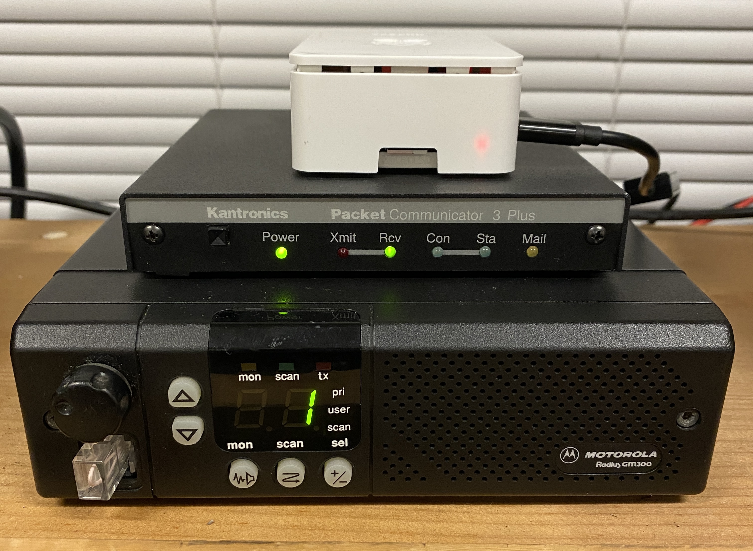


The Automated Packet Reporting Service is a digital real time
communications system to share tactical information and messages. The most
common activity in APRS is to plot the location of moving objects using
GPS information, but APRS can also be used for short messaging, weather
station telemetry, announcements, and displaying objects on a map. One of
the most useful features is the ability to send and receive SMS text
messages and text only email via the APRS network.
APRS Software and Information
Automatic Packet Reporting System (APRS)is an amateur radio-based system for real time digital communications of information of immediate value in the local area.[1] Data can include object Global Positioning System (GPS) coordinates, weather station telemetry, text messages, announcements, queries, and other telemetry. APRS data can be displayed on a map, which can show stations, objects, tracks of moving objects, weather stations, search and rescue data, and direction finding data.
APRS has been developed since the late 1980s by Bob Bruninga, call sign WB4APR, currently a senior research engineer at the United States Naval Academy. He still maintains the main APRS Web site.
